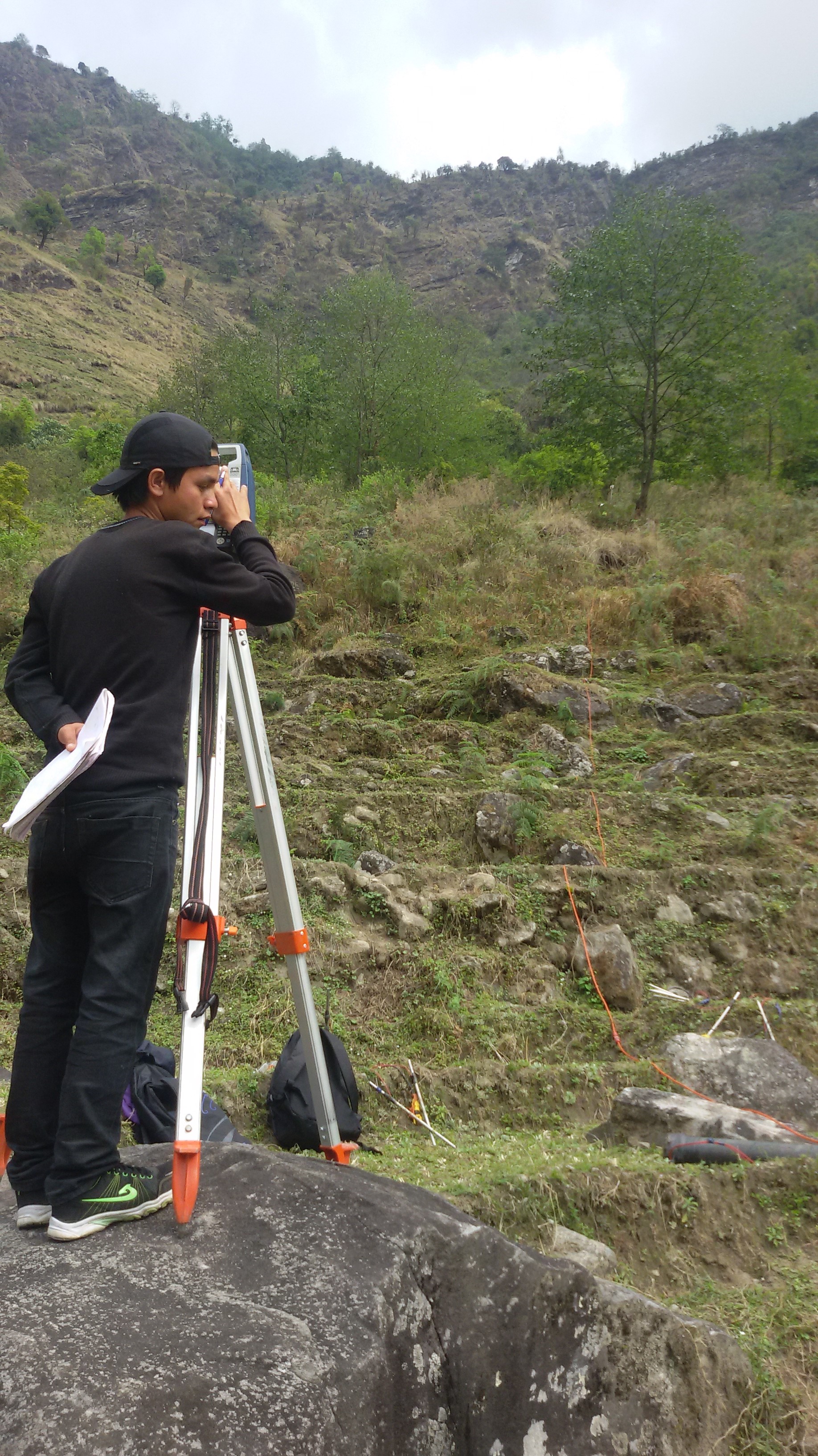
Topographical survey and preparation of site maps (roads, bridge sites, irrigation command areas, structure and building sites etc.) and infrastructure alignments (canals, drains, roads), including foundation stability and settlement monitoring for major structures (pump stations, main canals, bridges etc.)